Online MOOCs Addressing Geo-Spatial Revolution
Penn State University and ESRI partner to provide skills sets needed for many careers
As we become more reliant on digital mapping tools, like GPS, to navigate our way through life, innovative educators at Pennsylvania State University have joined forces with a leader in mapping software development to help others use these technologies for teaching essential workforce skills.
Given today’s geo-spatial revolution, Dr. Anthony Robinson, assistant director at Penn State’s GeoVISTA research center, decided to team up with David DiBiase and Joseph Kerski at Esri, a top-rated mapping software company, with one goal in mind: To use the latest geospatial tools and methodologies for teaching high demand professional skills like digital mapping and spatial analysis, critical thinking, and communication.
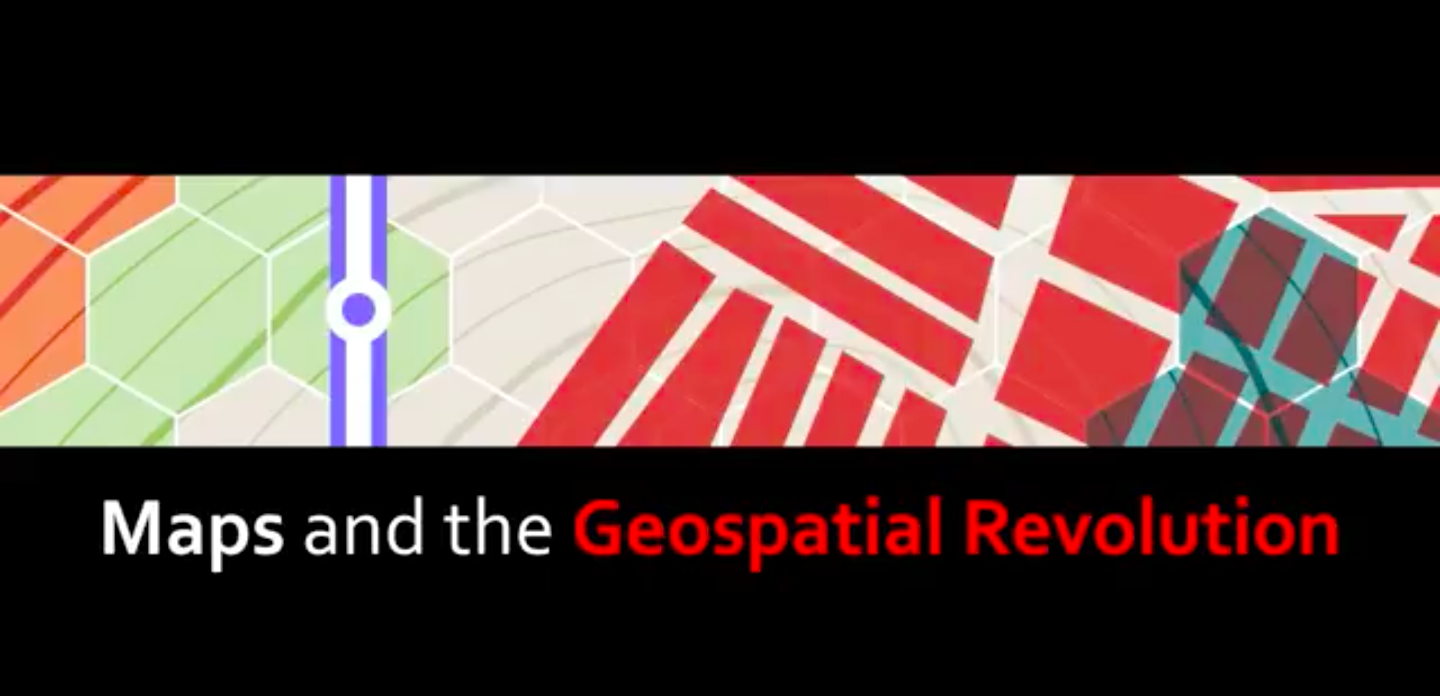
Thanks to this pioneering partnership, they have produced a highly interactive, Massive Open Online Course, or MOOC, they call Maps and the Geospatial Revolution. As advertised in the Coursera catalog, this MOOC hones in on how advances in geospatial technology and analytical methods have revolutionized our approach to making maps and analyzing geographic patterns.
With that in mind, it combines core concepts in cartography, geographic information systems, or GIS, and spatial thinking through hands-on learning around real-world examples using the latest mapping and analysis software. And by exploring how spatial, or location-based, data is created and analyzed while teaching the art of designing maps that effectively tell the story behind this data, this unique course enables its “graduates” to engage with geography at new and exciting levels across a variety of disciplines from business, law, and social science to history and mathematics.
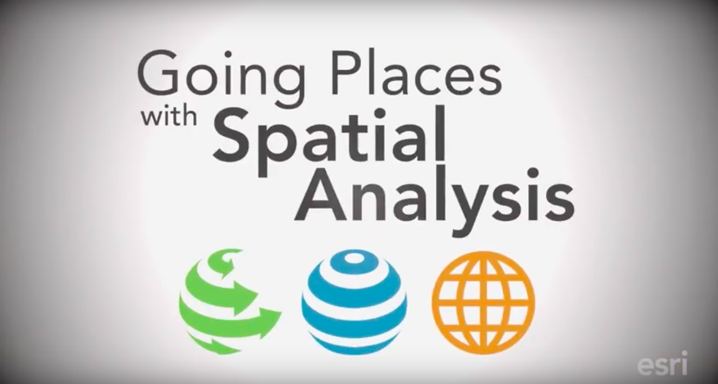
The team has also developed a MOOC entitled Go Places with Spatial Analysis, which is offered through the Esri website and builds upon the same fundamental concepts. That said, it is specifically tailored for those who know something about data analysis and want to learn more about the distinctive capabilities of spatial analysis, an increasingly marketable professional skill. And as an added bonus, those who enroll in the course get free access to ArcGIS Online, Esri’s cloud-based geospatial information system platform.
We are in the midst of the geo-spatial revolution. All of us are quickly becoming more location aware and utilizing digital mapping for everything from figuring out how to get somewhere to using YELP’s augmented reality tool, Monocle, to find the nearest coffee shop. The use of online geo-technologies has spread across many industries driving the need to prepare all students with proper skills in their usage. An partnership between the leading geo-mapping company and a university has produced innovative online learning opportunities.
Dr. Joseph Kerski of Esri, a leading digital mapping company, believes that, “Teaching with Geo-technologies (Geographic Information Systems (GIS), Global Positioning Systems (GPS), Virtual Globes, and Remote Sensing not only can engage the learner in inquiry-driven, problem-based, project-based investigations of real-world issues, but it is essential for 21st Century sustainability of the planet and the health of its people.”
MOOC to Teach Geospatial Skills
With GIS systems becoming a part of our everyday lives many educators are looking for professional development in how to teach using a new approach to geography, spatial thinking and web mastery. GIS education, spatial thinking and geo-technology use applies to business, law, history, administration, mathematics and more. To address this need, a unique online course was designed to guide educators in how to combine spatial thinking and geographic perspective with the critical thinking and communication skills they are trying to develop in students.
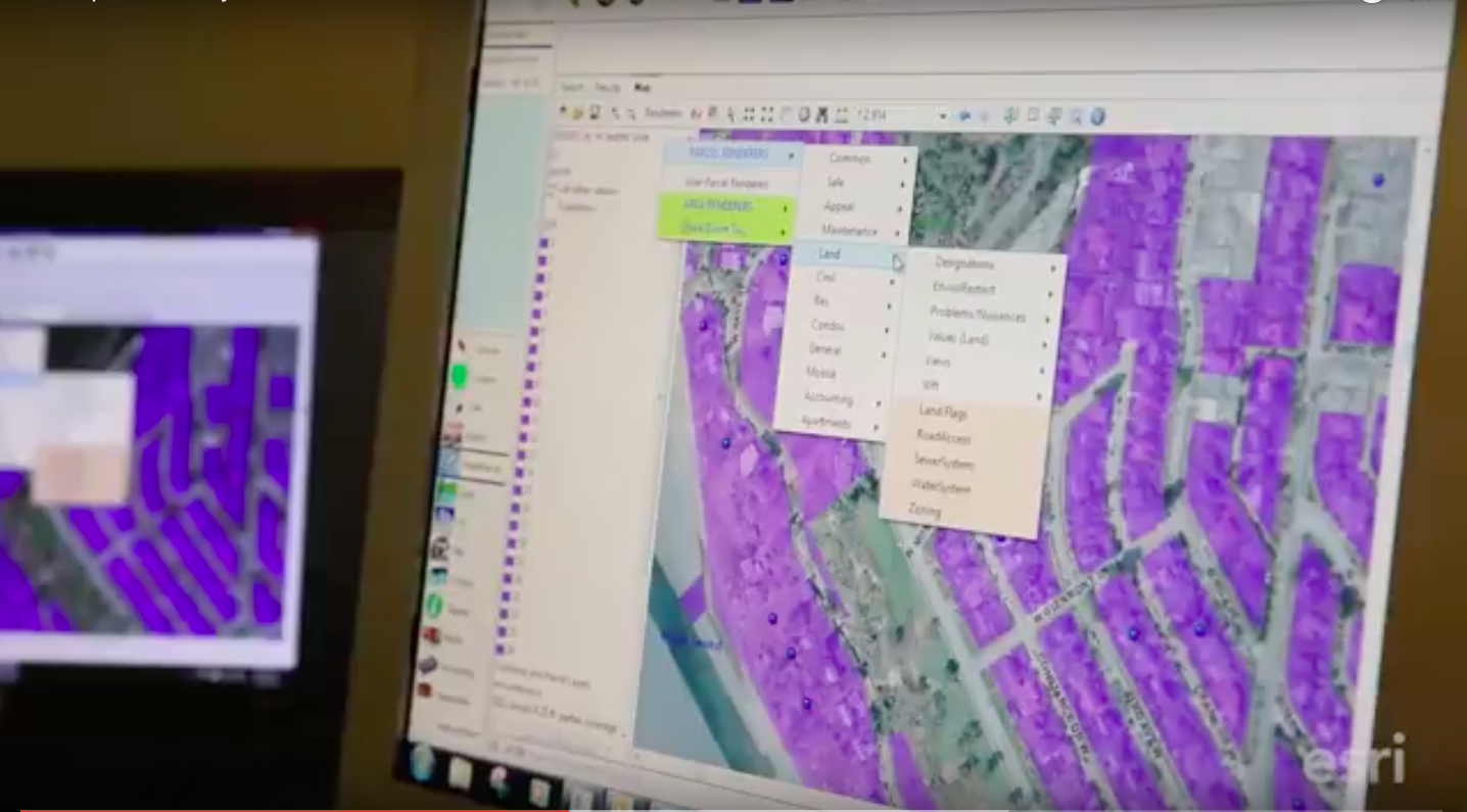
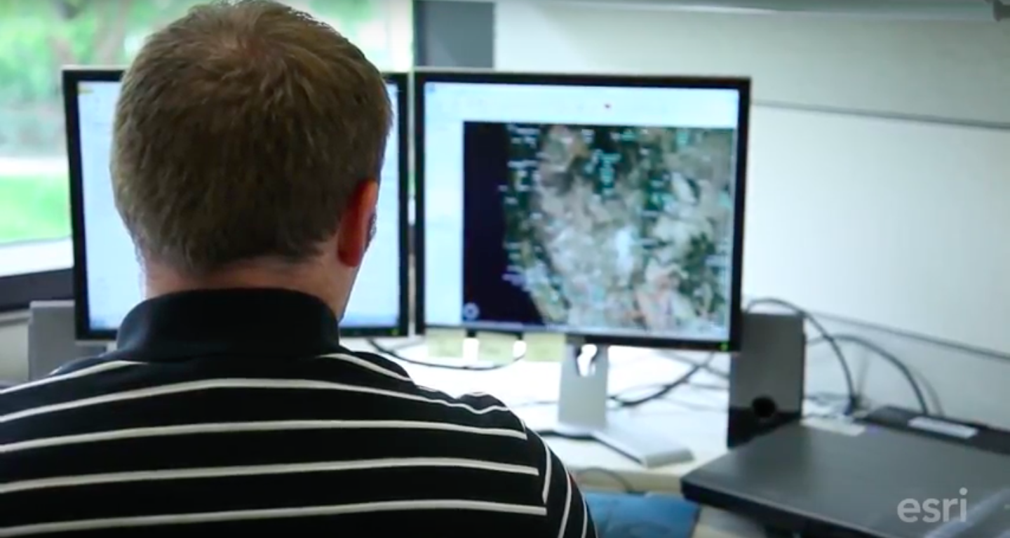
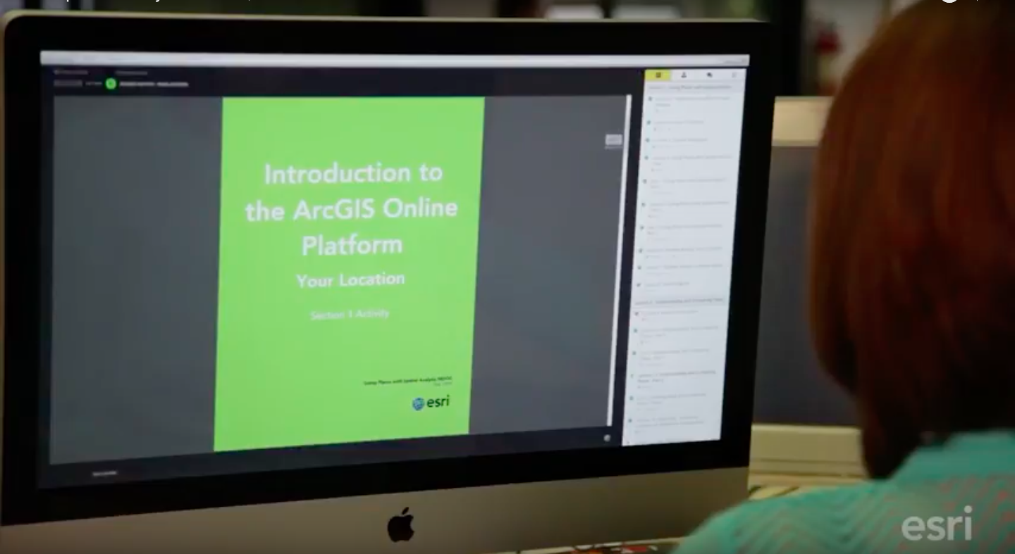
Dr. Anthony Robinson, lead faculty for online geospatial education and assistant director for the GeoVISTA research center for the Department of Geography at The Pennsylvania State University designed a MOOC with support from David DiBiase, director of education at Esri. Accompanying lab exercises use the Esri software, ArcGIS Online, which is provided free for students of the class. The labs were developed in cooperation with Esri’s education industry curriculum development manager Joseph Kerski.
Maps and the Geospatial Revolution, helps students learn how advances in geospatial technology and analytical methods have changed how we do everything, and discover how to make maps and analyze geographic patterns using the latest tools.
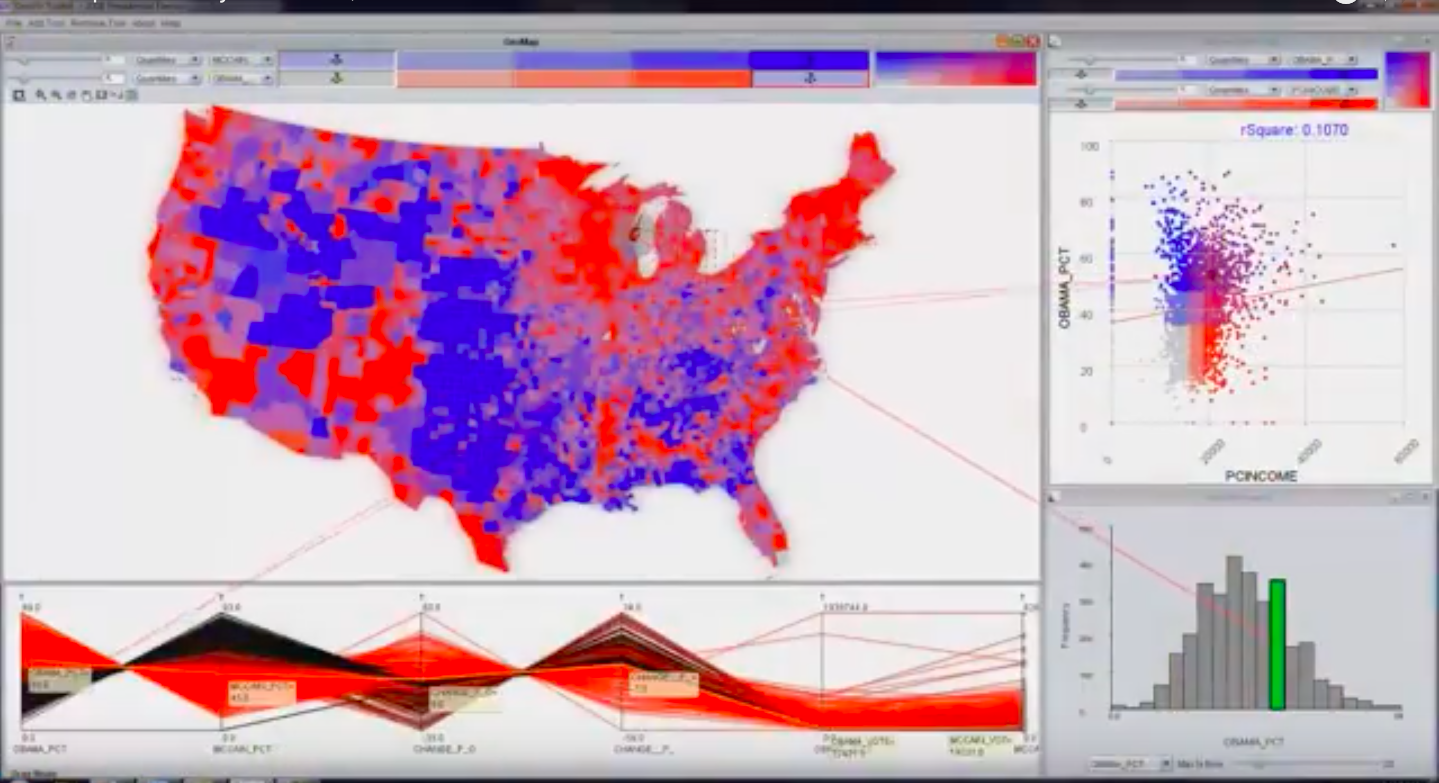
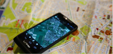
The past decade has seen an explosion of new mechanisms for understanding and using location information in widely accessible technologies. This Geospatial Revolution has resulted in the development of consumer GPS tools, interactive web maps, and location-aware mobile devices. These radical advances are making it possible for people from all walks of life to use, collect, and understand spatial information like never before.
This course brings together core concepts in cartography, geographic information systems, and spatial thinking with real-world examples to provide the fundamentals necessary to engage with Geography beyond the surface-level. Students explore what makes spatial information special, how spatial data is created, how spatial analysis is conducted, and how to design maps so that they’re effective at telling the stories we wish to share.
Spatial Analysis MOOC

Another MOOC, Go Places with Spatial Analysis, is taught by Esri for those looking to improve spatial analysis skills or those seeking to step into the world of spatial analysis for the first time. This MOOC is for people who know something about data analysis and want to learn about the special capabilities of spatial data analysis. Spatial analysis focuses on location to gain a deeper understanding of data. Spatial analysis skills are in high demand by organizations around the world. Students get free access to the full analytical capabilities of ArcGIS Online, Esri’s cloud-based GIS platform for this course as well.
Courses and programs such as these couldn’t be timelier. Recent media attest to the prevalence in the use of GIS and geospatial tools. We can see how GIS is making the city of Dubai more sustainable, safer and happier or learn how Disney Studios used Esri’s CityEngine, software that transforms 2D GIS data into Smart 3D city models, to create the movie Zootopia or look at how a shellfish company uses Esri GIS field apps for their sustainable practices. In fact, ArcGIS Online serves 11 million maps daily to all walks of life.
These two MOOC offerings are just a couple of examples of innovative online learning opportunities that provide educators and students of all disciplines with the skills that can be used in multiple careers. That’s a true partnership at its best!